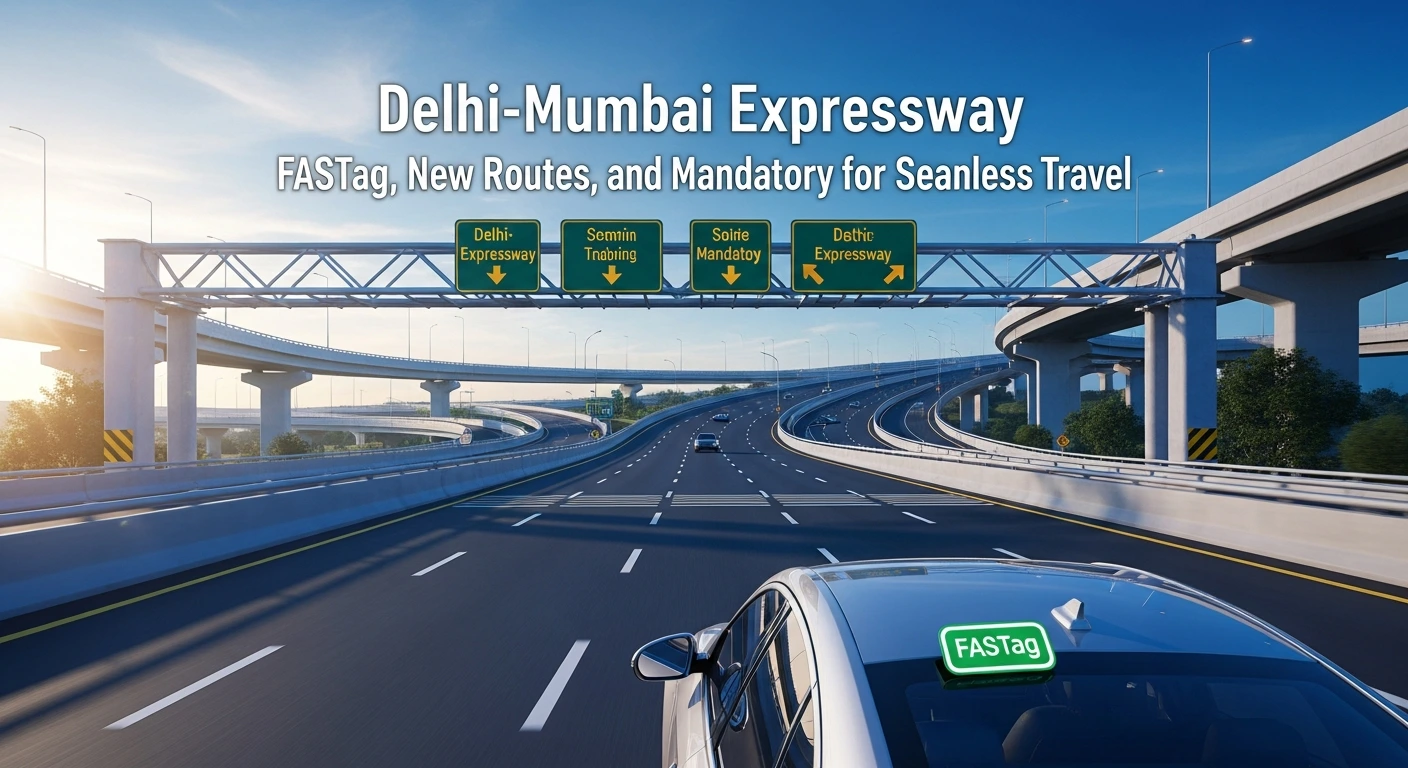
Essential Guide to India’s New Digital Expressways-Delhi-Mumbai Corridor
With India rapidly transitioning to digitally enabled, high-speed corridors like the completed sections of the Delhi-Mumbai Expressway, it is crucial for travelers to understand the new mandatory rules and digital tools to ensure a seamless, congestion-free journey.
Here is what every driver needs to know before traveling on India’s modern highways:
Before You Travel: FASTag is Mandatory (Avoid Double Toll)
The era of cash payments at toll plazas is effectively over. The success of the FASTag system has made non-compliance highly expensive.
1. Check Your FASTag Status
- Mandatory Status: FASTag is mandatory for all vehicles.
- Check Balance: Ensure your FASTag has sufficient balance. Recharge instantly via linked bank accounts or authorized apps.
- Avoid Penalty: As per the new directive, vehicles using the dedicated FASTag lane without a valid tag, or those paying cash in non-MLFF (Multi-Lane Free Flow) plazas, will be charged double the standard toll fee. This rule is strictly enforced to maintain zero congestion.
2. Understand Multi-Lane Free Flow (MLFF)
In newly operational sections (like the pilot on NH-48 and planned sections on expressways), there are no physical barriers or booms.
- What to Do: Simply maintain highway speed. Cameras and sensors will scan your vehicle and automatically deduct the toll via your FASTag.
- What NOT to Do: Do not slow down unnecessarily or attempt to stop near the overhead scanning equipment.
On the Route: How to Check Open Corridors (Delhi-Mumbai Focus)
The Delhi-Mumbai Expressway is being opened in phases. Travelers must check the live status of the latest sections.
1. Current Operational Route Sections
As of November 2025, major portions connecting Delhi to various nodes are operational, significantly reducing travel time to:
- Sohna (Haryana) to Dausa (Rajasthan)
- Vadodara (Gujarat) to Ankleshwar (Gujarat)
Actionable Step: Always check the official NHAI website or the designated highway mobile application (see point 3) for the live map showing the exact entry and exit points currently operational. Relying on older GPS data may lead to delays.
2. Accessing the Expressway
- Designated Entry/Exit: Access is strictly controlled through designated Interchanges. Do not attempt to enter or exit at unauthorized points.
- Speed Limits: Maintain the strictly enforced speed limits (usually 100-120 km/h for cars) monitored by Advanced Traffic Management Systems (ATMS) cameras. Fines for overspeeding are automatically generated.
During the Journey: Leveraging Smart Highway Services
The new expressways are equipped with Intelligent Transport Systems (ITS) to enhance safety and assistance.
1. Use the Dedicated Highway Mobile App
MoRTH has launched a mobile application integrated with the GIS-based highway platform.
- Route Check: Use the app to find the shortest, newly opened route.
- Emergency Help: The app allows drivers to register complaints or request help instantly. It is linked directly to emergency response teams (e.g., ambulances, patrol vehicles).
2. Check Roadside Amenities (QR Codes)
Look out for the new Project Information Sign Boards at regular intervals.
- Scan the QR Code: These boards feature QR codes that, when scanned with your mobile phone, provide real-time information on:
- Nearest emergency helpline numbers.
- Locations of hospitals, rest stops, petrol pumps, and e-charging stations.
- Vehicle-to-Everything (V2X) Communication: In smart corridor sections, your vehicle’s integrated navigation may receive alerts about upcoming congestion, accidents, or diversions via the V2X communication ecosystem.
3. Safety First: The ITS Difference
The electronic surveillance is not just for speed fines; it’s for safety. Cameras monitor for lane violations, wrong-side driving, and stationary vehicles to ensure quick response and prevent accidents.
| Travel Item | Action Required BEFORE Leaving | Purpose |
| FASTag Balance | Top-up (must have sufficient balance) | Avoid double penalty and seamless passage |
| Route Map | Check official NHAI site or app for open sections | Avoid unexpected diversions or closed interchanges |
| Emergency Contact | Download the dedicated Highway Mobile App | Instant access to emergency services (e.g., 1033) |
| Fuel/Charging | Locate stops via new QR codes/App | Long stretches may have limited interim services |
This advisory gives your readers the detailed, actionable information they need to confidently travel on India’s new digital highways.